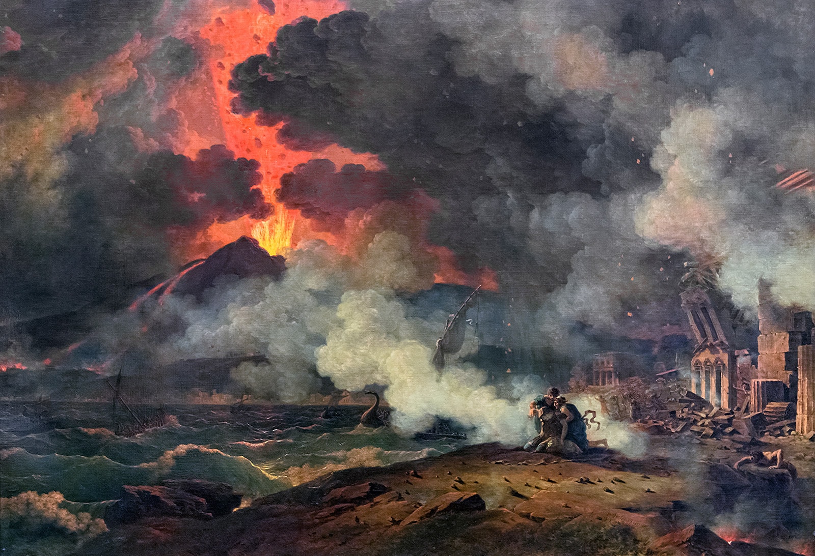
While our Earth has formed from many different things, volcanic eruptions have been a huge part of that. The most infamous volcano eruptions either did something to impact the planet or region they were part of in some way. This could be that they helped to form something we see today or that they ended many human lives as well as plants and animals. Some places have been impacted by the local volcano so much that entire craters were formed from eruptions. Others made the Earth move so much that they helped to lead to some of the continents we see today.
It is clear that major volcano eruptions led to rises in heat and even led to the lowering of temperatures too. In fact, many believe if there is going to be an extinction event in our lifetime, it’ll likely be due to nuclear weapons or a major volcanic eruption. With that said, we wanted to discuss some of the biggest in history. Before we do that, there are two big things we will be using. First, we’ll be using the Volcanic Explosivity Index (VEI), which rates volcanos from the low 0 to the highest level of 8. Second, we’ll also be using the BCE and CE history system rather than the B.C. and AD system. All that said, let’s get started!
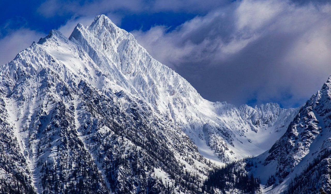
Mount Fisher
- Estimated Date: 8700 BCE
- Location: Alaska, United States
- VEI Rating: 7 to 8
The Mount Fisher volcano formed a very long time ago on Unimak Island in the Aleutian Islands of Alaska. This volcano formed from a destructive eruption of an andesitic stratovolcano (volcano with many layers) a little over 9,000 years ago. When this took place, the Fisher Caldera formed out of it. What exactly is a caldera formation? Calderas occur when a large depression is formed from a volcanic eruption or collapse. When this happens, magma within the magma chamber under the volcano will be expelled with tremendous force. As this magma chamber empties, any support magma within will also disappear.
Mauna Loa
- Estimated Dates: 1843 to 1950 CE
- Location: Island of Hawaii, Hawai’i, United States
- VEI Rating: 2 to 5
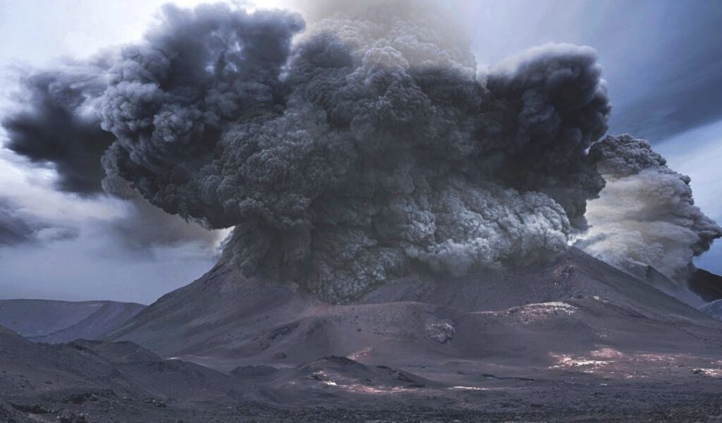
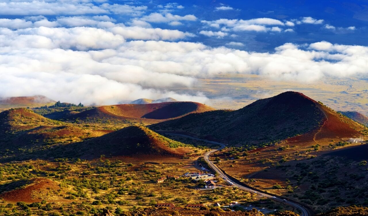
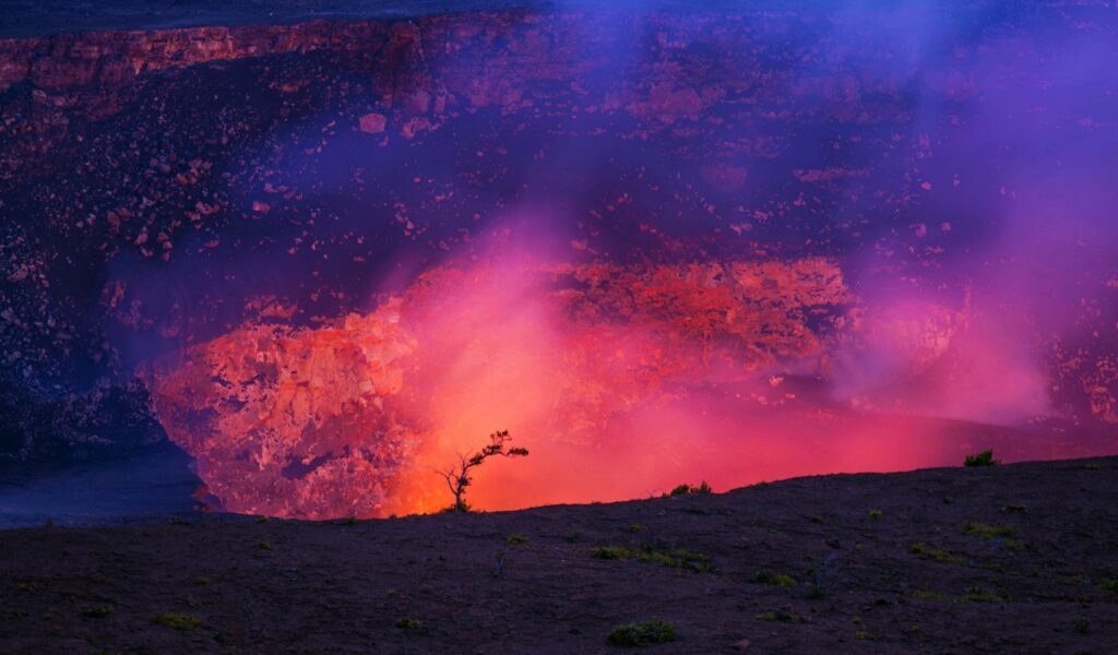
The Mauna Loa volcano is one of the five major volcanoes on the Island of Hawaii inside the U.S. state of Hawaiʻi. It is considered the largest subaerial volcano in terms of mass and volume on the planet. This is a volcano type that usually sees a chunk of its body below water. In fact, one could have made a case for it being the largest volcano on Earth full stop, but Tamu Massif beats it out there. Although, the volume of this volcano measures 18,000 cubic miles. However, the peak is only about 125 feet lower than Mauna Kea’s nearby.
Santa Maria Volcano
- Estimated Date: October 1902 CE
- Location: Guatemala
- VEI Rating: 6
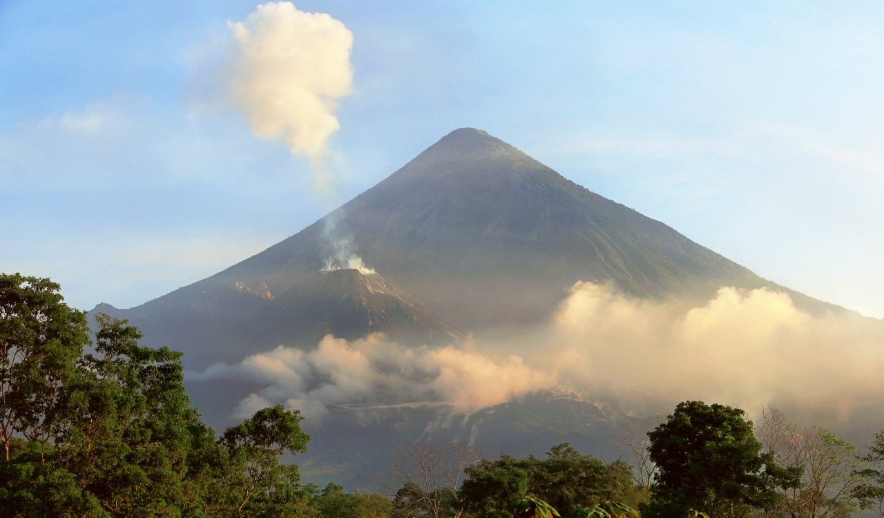
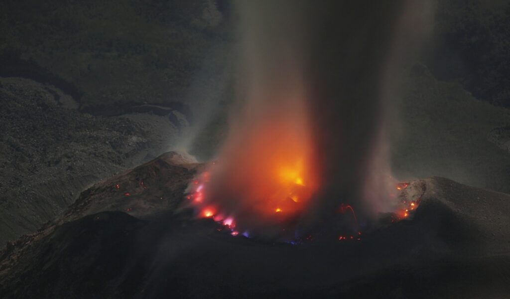
The Santa Maria Volcano gave us our very first major volcanic eruption in the 20th century. The Guatemalan volcano erupted on its southern side with a massive explosion that left a crater measuring out to roughly one mile in width on the side of the mountain. Before 1902’s eruption, no one really even worried about the Santa Maria volcano because it had not erupted in hundreds of years. In fact, it had been dormant for around 500 years by this point. The fact that it erupted at a level 6 on the Volcanic Explosivity Index out of nowhere likely made these Guatemalans assume the end was near.
Huaynaputina Volcano
- Estimated Date: 1600 CE
- Location: Peru
- VEI Rating: 6
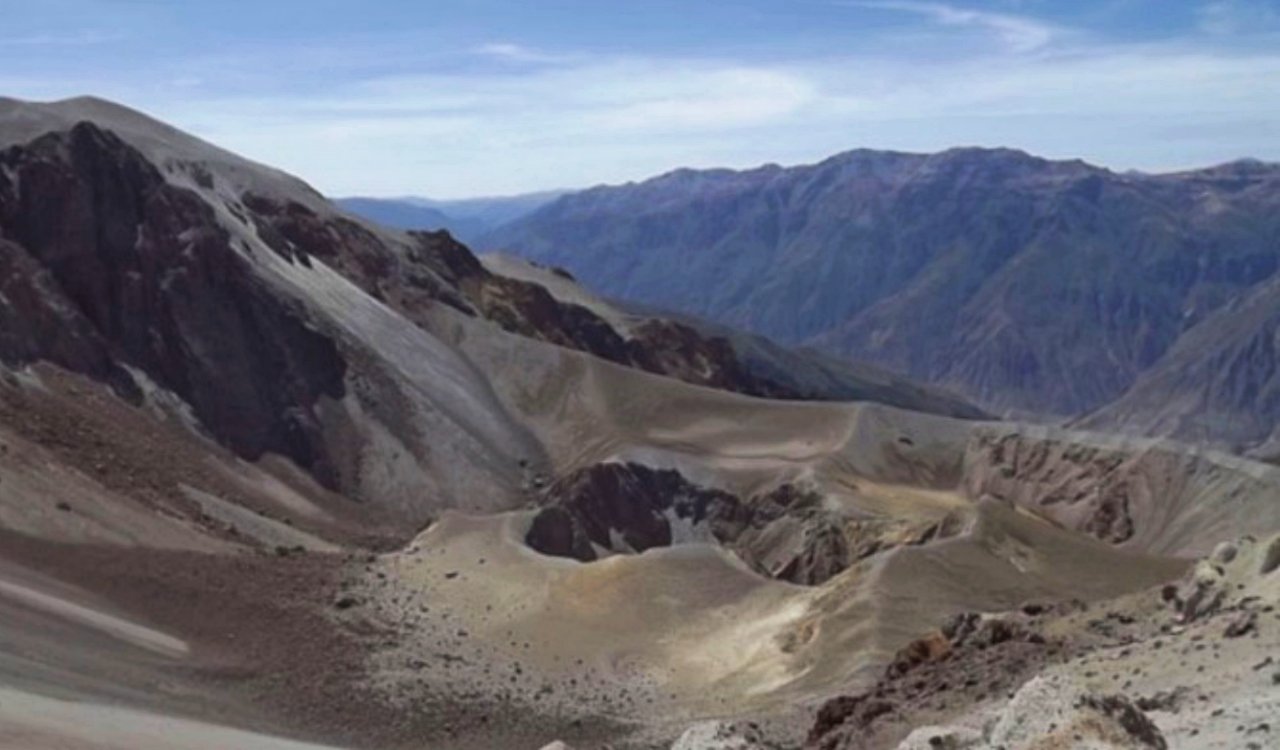
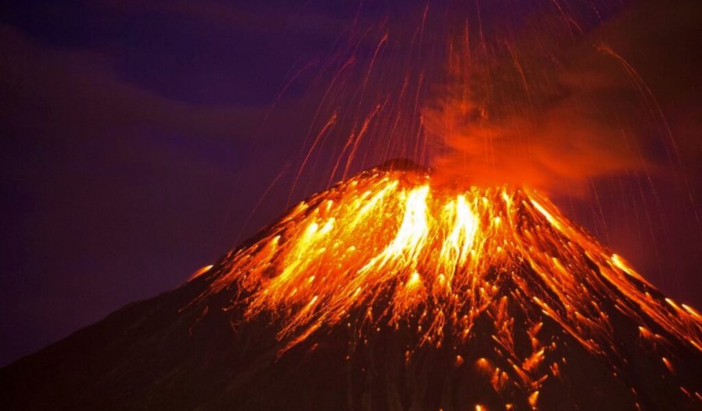
On February 16, 1600, Southern Peru was shaken by one of the most massive volcano eruptions in history. In fact, it was such a huge eruption that many claim this volcano eruption helped to create the Little Ice Age. Although, it was not solely responsible for this. While Huaynaputina has erupted several times, it was this eruption in 1600 CE that did more damage than any other eruption from this volcano. In fact, it is still the largest volcano eruption ever recorded in South America. People in the city of Arequipa witnessed the eruption as it happened but it is possible none of them truly knew how much harm this volcano would cause.
Mount Yasur
- Estimated Date: Constantly Since 1774 CE
- Location: Republic of Vanuatu
- VEI Rating: 1 to 3
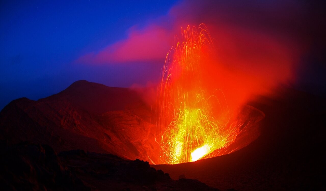
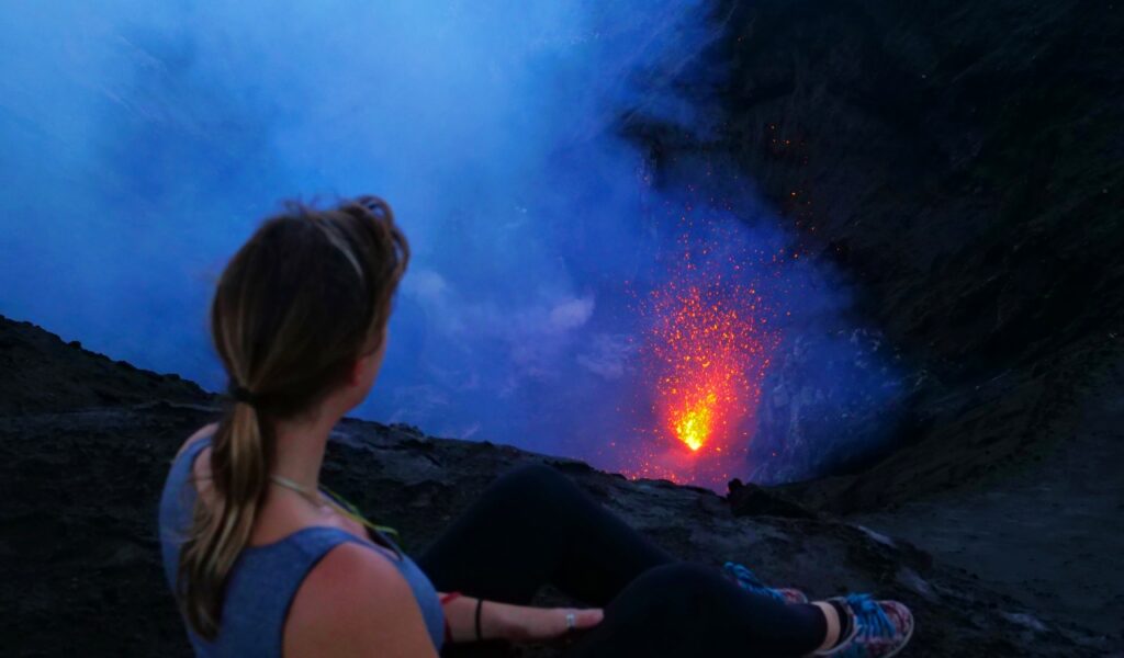
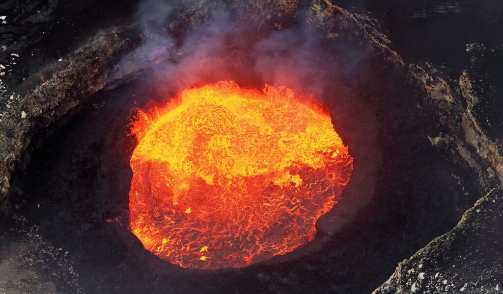
The Mount Yasur Volcano can be found on the Tanna Island of the Republic of Vanuatu, found in the South Pacific Ocean. The volcano stands 1,184 feet high above sea level. It’s a largely unvegetated pyroclastic cone with a beautiful circular crater at the summit that measures out to 400 meters in diameter. Another stratovolcano, Mount Yasur was actually formed when the Indo-Australian plate moved eastward while being subducted under the westward-moving Pacific Plate. Since its formation, it has erupted many times. Today we know it has been erupting constantly since around 1774 CE, the longest constant eruption cycle in history.
Mount Tarawera
- Estimated Date: June 10, 1886
- Location: New Zealand
- VEI Rating: 5
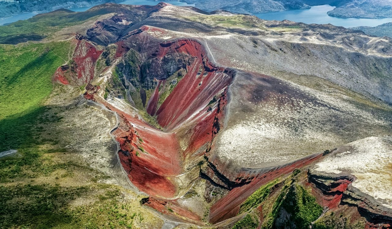
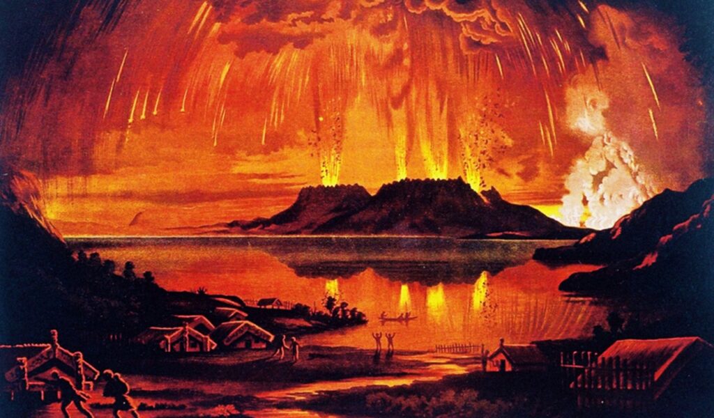
New Zealand is a beautiful nation that seems to have every possible environmental interest one could have from nice warm areas for fun in the ocean to snow-filled mountains. It should not shock anyone to find out a volcano exists here, right? Sadly, the locals were very unhappy any existed on June 10, 1886, when Mount Tarawera erupted. The Level 5 eruption formed fissures in the Earth that actually extended up to 10 miles from the epicenter of the volcano. You could hear the blast up to 310 miles away from the territory. Talk about one of the loudest volcano eruptions ever, right?
Kelud Volcano
- Estimated Date: 1586
- Location: Indonesia
- VEI Rating: 5
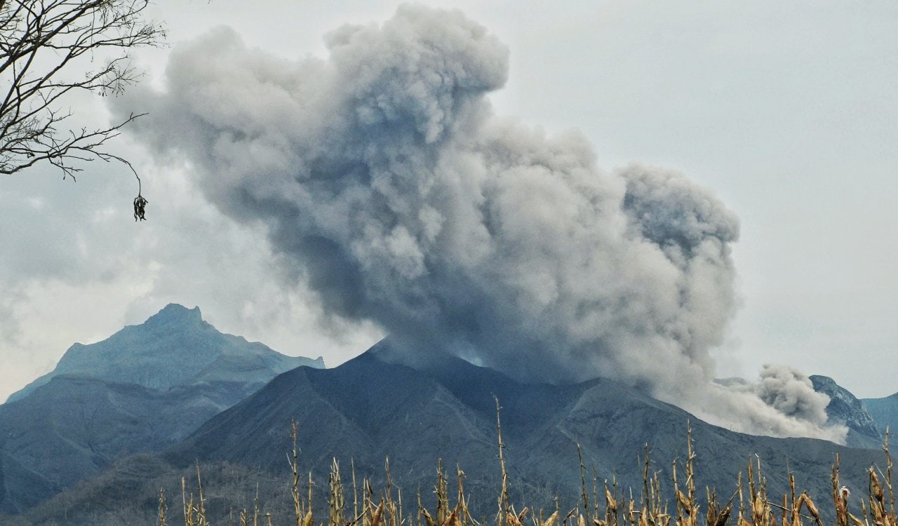
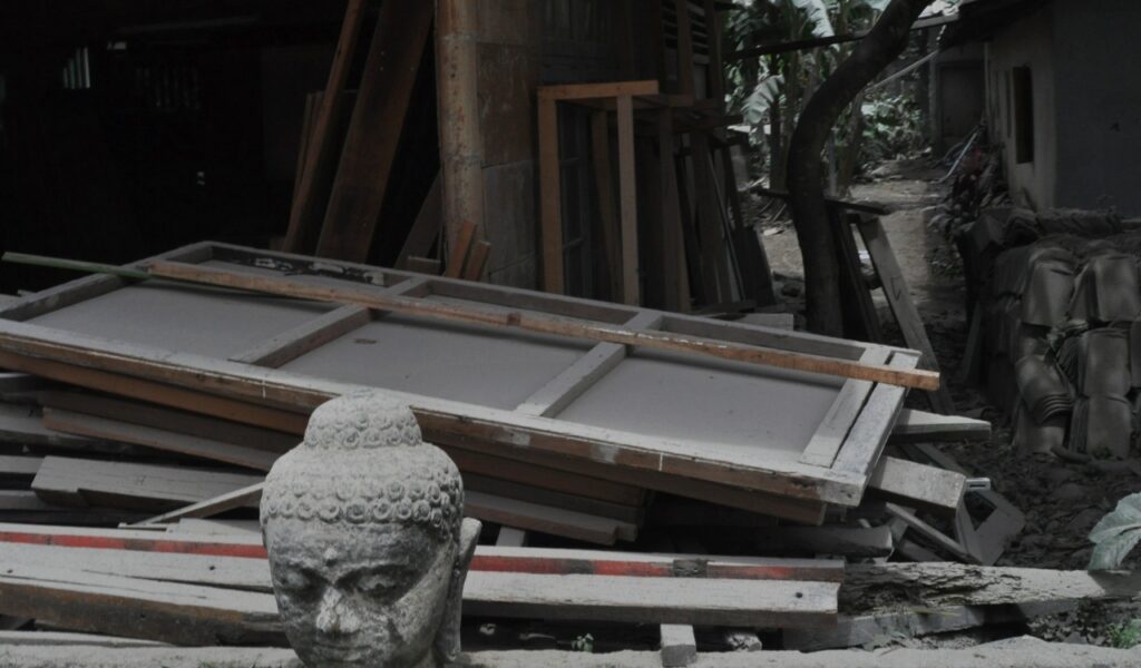
The Kelud Volcano is one of the most active volcanoes in the world, presenting some of the worst volcano eruptions in history. Its eruptions are not as energetic as some of the most infamous eruptions listed here. However, they happen all the time and result in deadly mudflows. This seems to occur so often due to the massive amount of water in the crater of the volcano. In fact, many believe the eruption in 1586 was likely so terrible because of this factor.
Billy Mitchell Volcano
- Estimated Date: 1580 CE
- Location: Bougainville Island, Papua New Guinea
- VEI Rating: 5
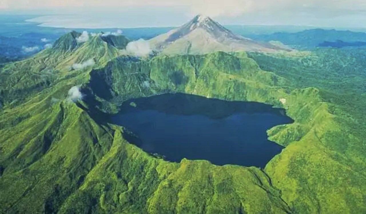
The name of this volcano may seem odd to some, and rightfully so. However, it was named after a 20th-century U.S. Army General who was considered to be the father of the modern-day U.S. Air Force. The volcano is part of the island of Bougainville, found northeast of the official Bagana Volcano in Papua New Guinea. It is officially classified as a “pyroclastic shield volcano.” These are uncommon shield volcanoes that are formed mostly out of pyroclastic and high explosive eruptions, rather than simply being made of fluid basaltic lava. Most have a central caldera with low-angle flank slopes.
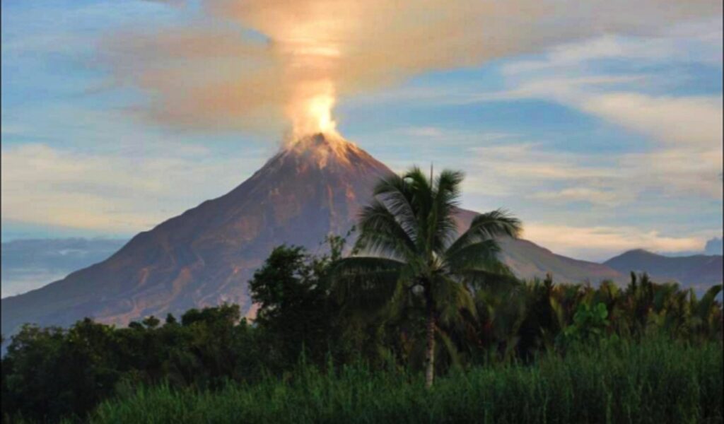
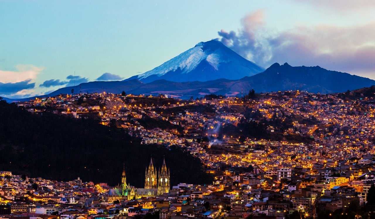
Cotopaxi Volcano
- Estimated Date: 50 Eruptions Since 1738 CE
- Location: Ecuador
- VEI Rating: 0 to 3
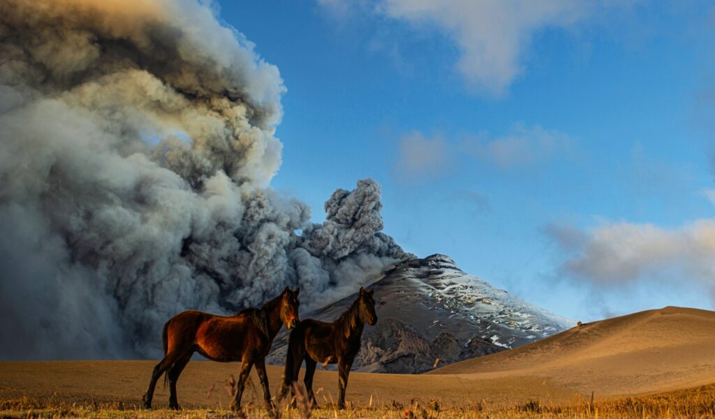
The Cotopaxi Volcano can be found in the Andes Mountains, within the Latacunga city of the Cotopaxi Province. While this Ecuadorian city is not well-known, the volcano has made the territory quite popular for scientists. The volcano is the second highest summit in Ecuador, standing at 19,347 feet. While its height makes it pretty cool, what makes the volcano legendary is that it happens to be among the most active volcanoes in the world. As of this writing, it has not erupted since January 2016 after starting its eruption in August 2015.
Deception Island Volcano
- Estimated Date: 2030 BCE
- Location: Antarctica
- VEI Rating: 6 to 7
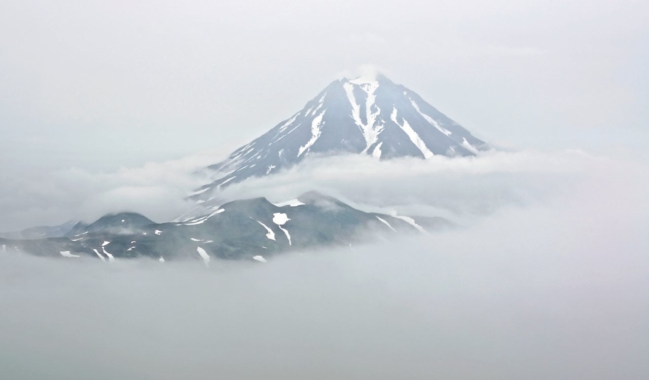
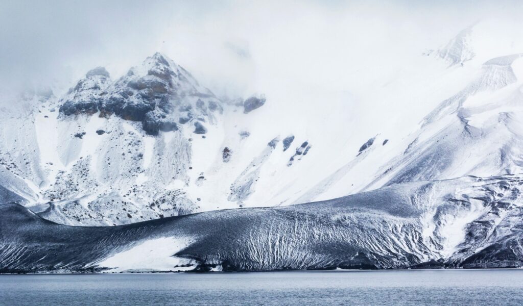
Most people do not venture to Antarctica, but those who do might come across a place known as Deception Island. The name is quite apropos, as it looks like a relatively nice place in a winter wasteland. Yet underneath all of this, you’ll find the caldera of an active volcano that made the name of this place make so much more sense. Antarctica is still so misunderstood, so scientists from all over the world have been going here to study the continent as best they could. On top of this, hunters who used to hunt whales in the region made several different settlements in the territory.
Baitoushan Volcano
- Estimated Date: 1000 CE
- Location: Chinese-North Korean Border
- VEI Rating: 6
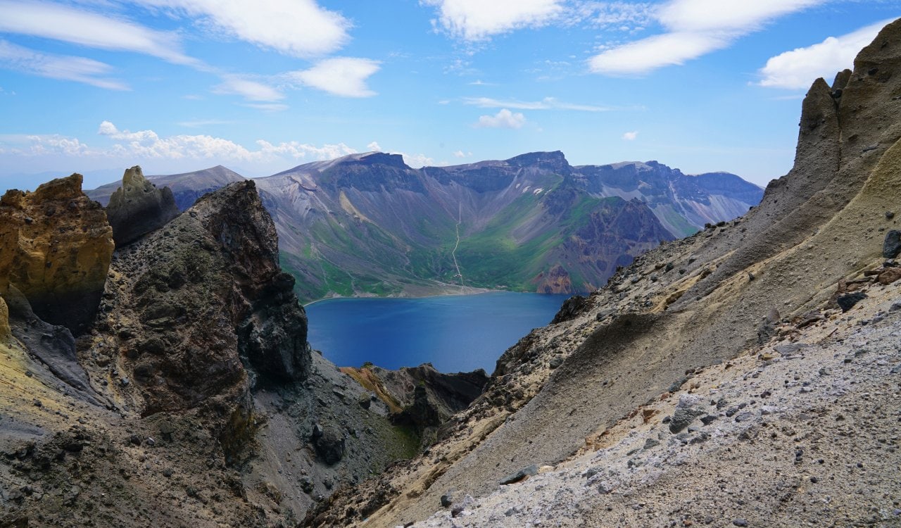
Very little is made of Chinese volcanos, but volcano eruptions happen here just as they do in other large territories. The Baitoushan Volcano here was one of the most powerful in history. In fact, it erupted so powerfully that ash and debris landed as far away as Japan, roughly 750 miles from the volcano. The blast created a caldera that stretches three miles wide and is about a half-mile deep. Today, Lake Tianchi or Sky Lake is present in this crater. The lake is a major tourist destination, as the Chinese government managed to beautify the territory many years after its chaotic eruption.
Mount Ilopango
- Estimated Date: Between 430 and 450 CE
- Location: El Salvador
- VEI Rating: 6
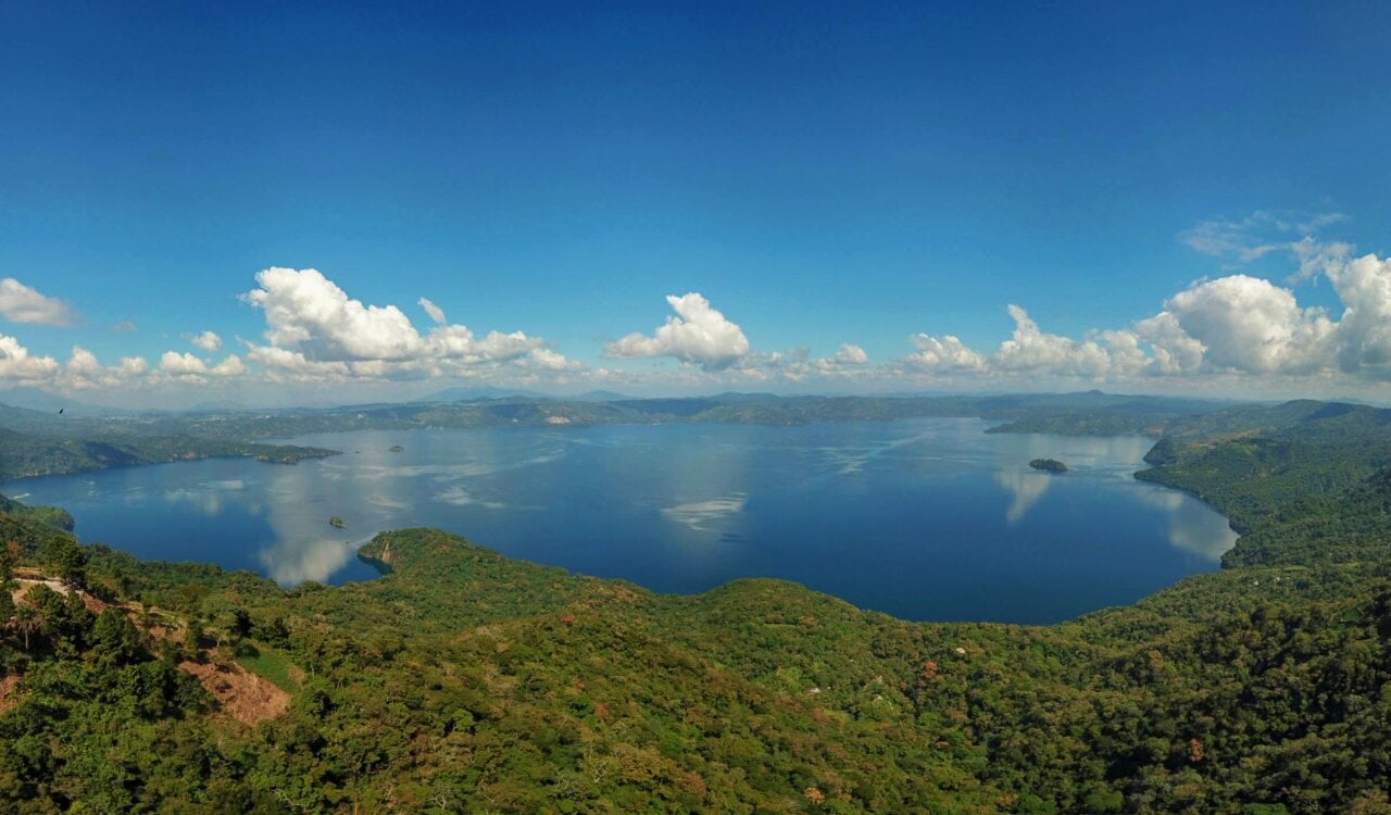
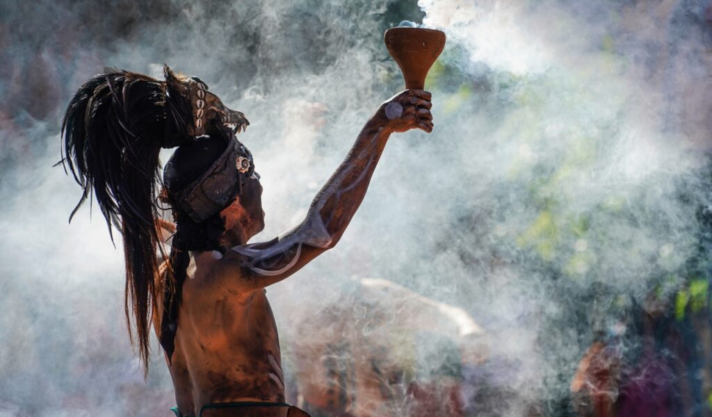
While El Salvador might not be considered a major hotspot for the Mayan Civilization today, it was going to be. Yet when Mount Ilopango erupted between 430 and 450 CE, it destroyed entire Mayan cities in the region and resulted in the civilization moving closer to Guatemala. This major eruption ended up creating a major caldera that houses Lake Ilopango today. At the time, it is said that the ash-cloud fallout from the eruption would have blanketed at least 3,800 square miles in roughly waist-deep pumice and ash. Agriculture in the territory would have been nonexistent for decades.
Novarupta Volcano
- Estimate Date: June 6 to June 9, 1912 CE
- Location: Alaska, United States
- VEI Rating: 6
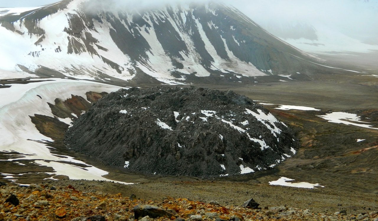
When Johnny Cash sang about a “ring of fire,” did you assume he just grabbed this out of thin air? Oh no, the ring of fire is technically a real thing. It is found in Alaska (among other areas), and it was formed thanks to the volcanoes in the region. One of which is Novarupta, which actually formed in 1912. That makes it likely the youngest volcano on this list. The eruption that led to Novarupta forming was massive and reached a level 6 on the VEI scale. The violent eruptions began on June 6, 1912, and would last for 60 hours before stopping. By the time it did, roughly 3.1 to 3.6 cubic miles of ash were expelled in the region.
Mount Thera
- Estimated Date: 1610 CE
- Location: Island of Thera
- VEI Rating: 6 to 7
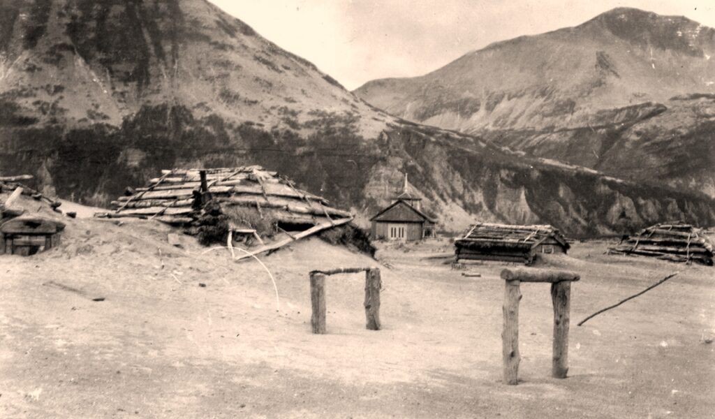
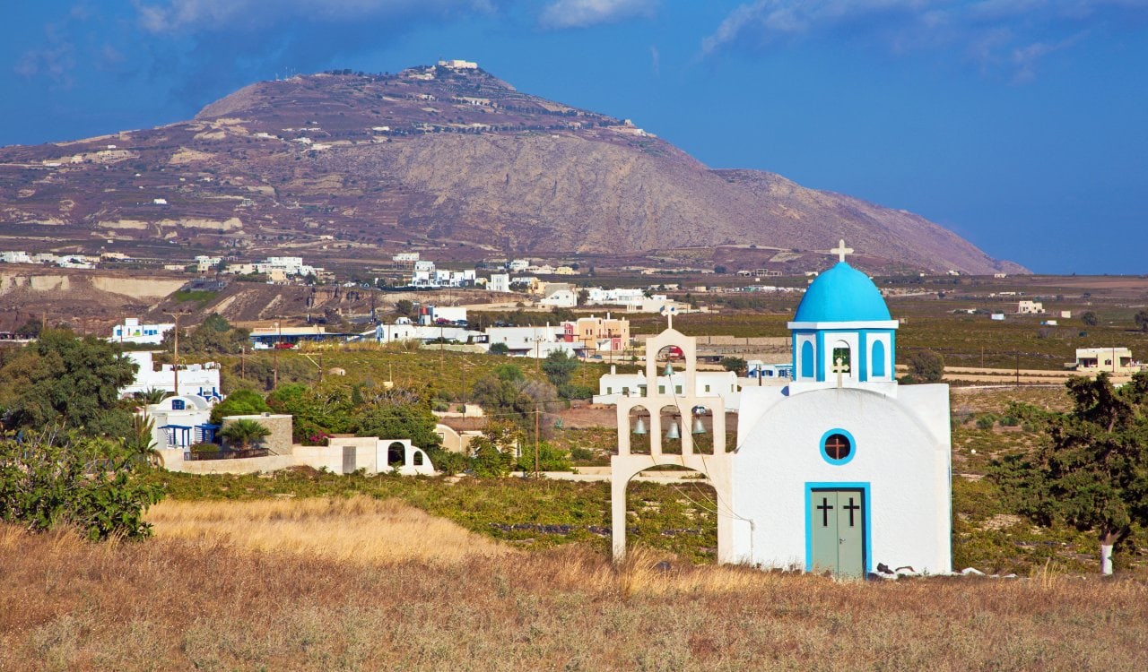
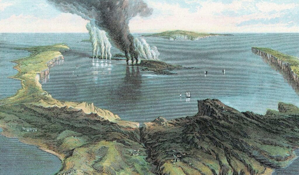
Mount Thera managed to do something that very few other volcanoes can claim. This volcano, located on the island of Thera in the Aegean Islands was essentially world-changing. This was a major event in human history that wiped out the Minoan civilization that lived on the island of Thera. Geologists now believe it was likely the strongest explosion that was ever personally witnessed by a human. Thera erupted with the measured energy of several hundreds of atomic bombs in just a fraction of a second.
Semisopochnoi Island Volcano
- Estimate Date: 8,000 BCE
- Location: Alaska, United States
- VEI Rating: 6
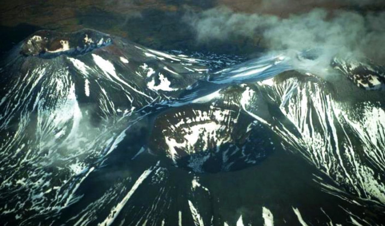
These Alaskan volcanoes are something else. The Semisopochnoi Island feels like a place you’d see after a nuclear explosion wiped out life on the planet. It is uninhabited and does not contain ANY mammals. This works out well for many maritime birds that utilize the place for nesting as a result. The island is actually home to several volcanoes, including Mount Cerberus. The main volcano, the Semisopochnoi, is the largest subaerial volcano in the western Aleutians. It stands at a little over 12 miles wide above sea level while it contains a caldera that measures out at nearly 5 miles in width.
Ambrym Island Volcano
- Estimated Date: 50 BCE
- Location: Republic of Vanuatu
- VEI Rating: 6
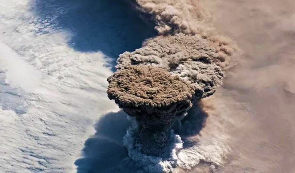
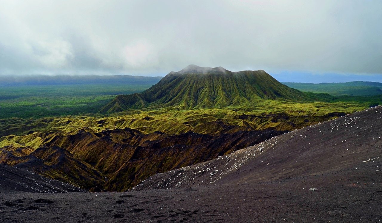
In the southwest territory of the Pacific Ocean, you’ll find several small islands. Around this territory, you’ll find Ambrym Island which happens to be part of the Republic of Vanuatu. This happens to be the site of a major eruption that took place in 50 BCE. While volcanic eruptions can be powerful, very few are able to create a caldera on an island that is 7.5 miles wide. Upon erupting, volcanic ash and debris were sent for thousands of miles. The eruption, to the shock of no one, was rated a 6 under the Volcanic Explosivity Index. What might freak you out more is that this very same basaltic volcano is still active to this day!
Eyjafjallajökull Volcano
- Estimated Date: April 14, 2010
- Location: Iceland
- VEI Rating: 4
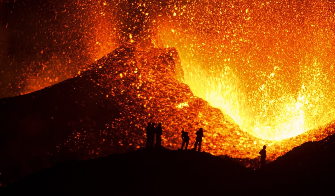
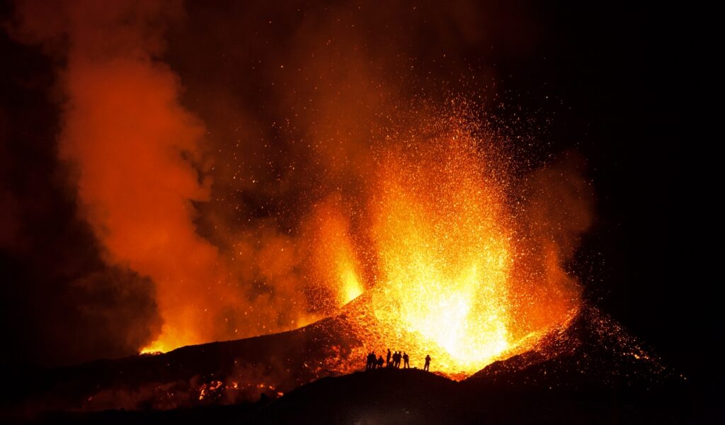
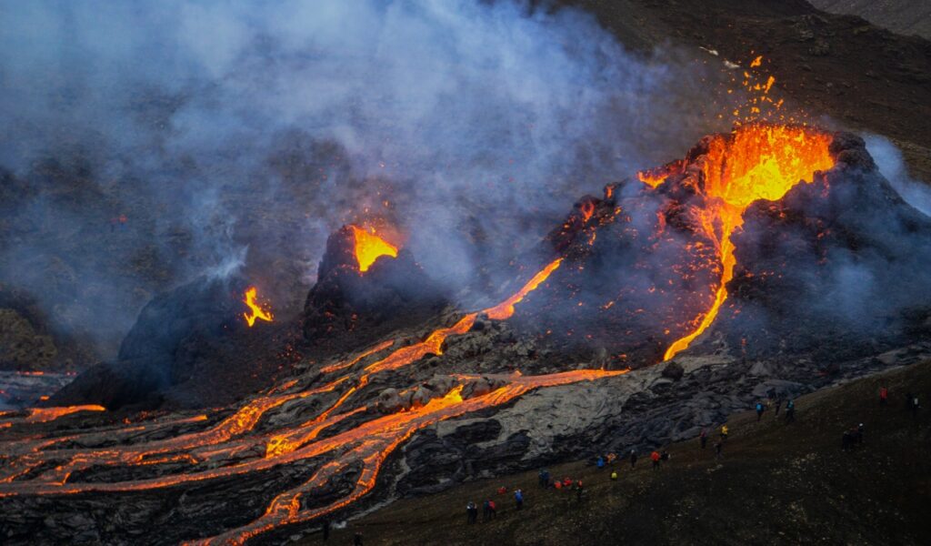
The Eyjafjallajökull volcano, located in Iceland, happens to be one of the few major volcano eruptions to occur in our lifetime. The eruptions here lasted for about 6 days starting on April 14th while localized disruption continued into May 2010. However, eruptive activity STILL kept going until June 2010. Finally, after another three months of activity, the eruptions were finally over in October 2010. From April 14th to the 20th, ash from the eruption covered large areas of Northern Europe. All in all, around 20 countries were affected so badly by it that they had to close off air travel to commercial flights.
Mount Mazama
- Estimated Date: Between 5,900 to 5690 BCE)
- Location: Oregon, United States
- VEI Rating: 6
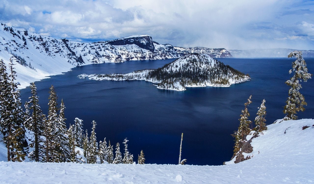
Mount Mazama is considered a complex volcano, which consists of volcanic centers and has a mixed landform. They tend to form due to changes in eruptive habits or in the location of the principal vent area of another volcano. Most of these mountains in the Cascade Volcanic Arc formed around 7,700 years ago. The collapse of the volcano formed a caldera that now holds “Crater Lake.” Mount Mazama was originally 12,000 feet but the climactic eruption and subsequent caldera took it down to 8,157 feet. Crater Lake itself is actually 1,943 feet deep. This is the deepest freshwater body source in the United States and the second deepest in North America.
Cerro Blanco Volcano
- Estimated Date: 2300 BCE
- Location: Argentina
- VEI Rating: 7
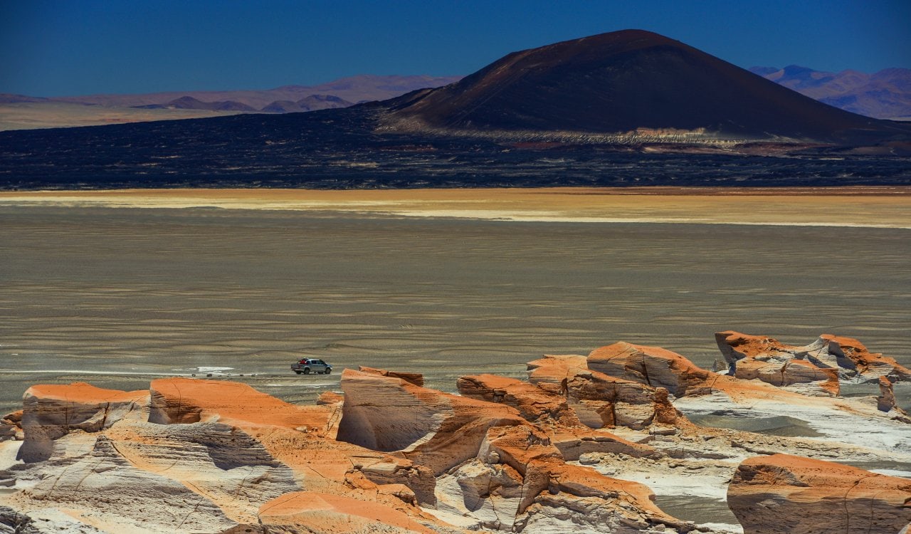
Part of the Central Volcanic Zone in the Andes Mountains, Cerro Blanco is a volcanic collapse structure located at an altitude of around 15,320 feet within a depression. The caldera itself has been active for at least eight million years, but not consistently. The many eruptions have since created many ignimbrites. While several major eruptions have taken place, one of the biggest occurred around 2300 BCE. It is the largest eruption of the Central Andes, rated at a 7 on the VEI rating scale. It actually formed the most recent caldera in the Cerro Blanco territory, along with some thick ignimbrite laters.
Yellowstone Volcano
- Estimated Date: 638,000 BCE
- Location: California, United States
- VEI Rating: 7 to 8
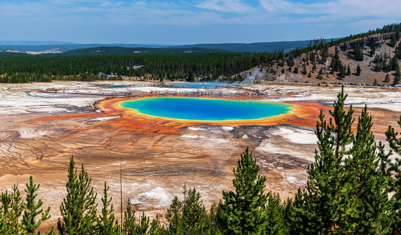
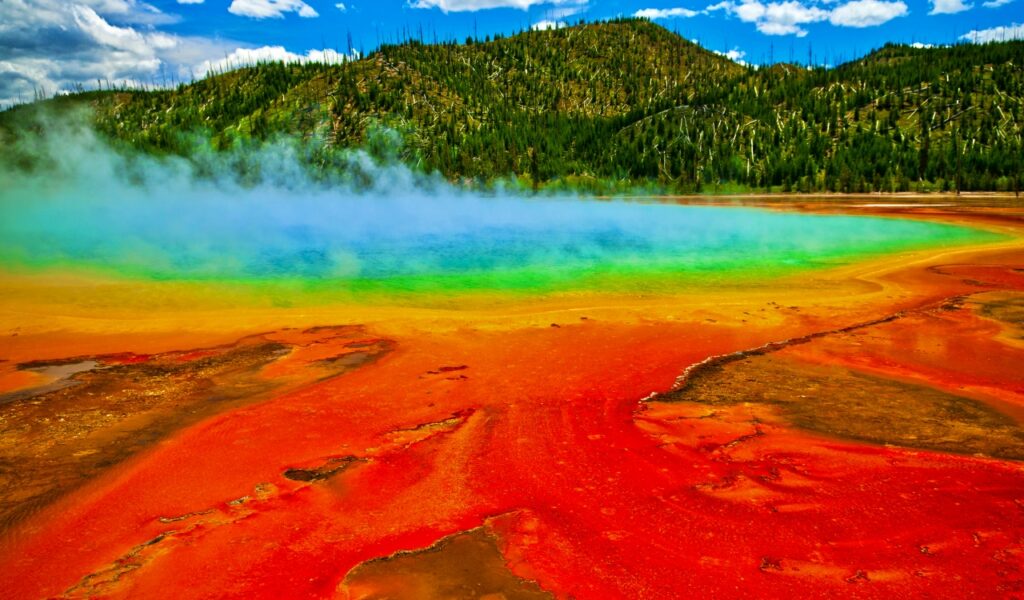
Yellowstone National Park is absolutely beautiful, but it houses one of the most powerful supervolcanoes on the planet. In fact, an eruption from this volcano would be so significant to the planet that it is classified as a “doomsday event.” What is so interesting is that this volcano erupted in the past but it was long before any present-day humans were around. In fact, the last time it erupted, humans looked very different. The Yellowstone volcano erupted 640,000 years ago and actually made such an impact when it did, that the entire park you see today was shaped by this eruption.
Mount Pelée
- Estimated Date: May 1902
- Location: Martinique Island
- VEI Rating: 5
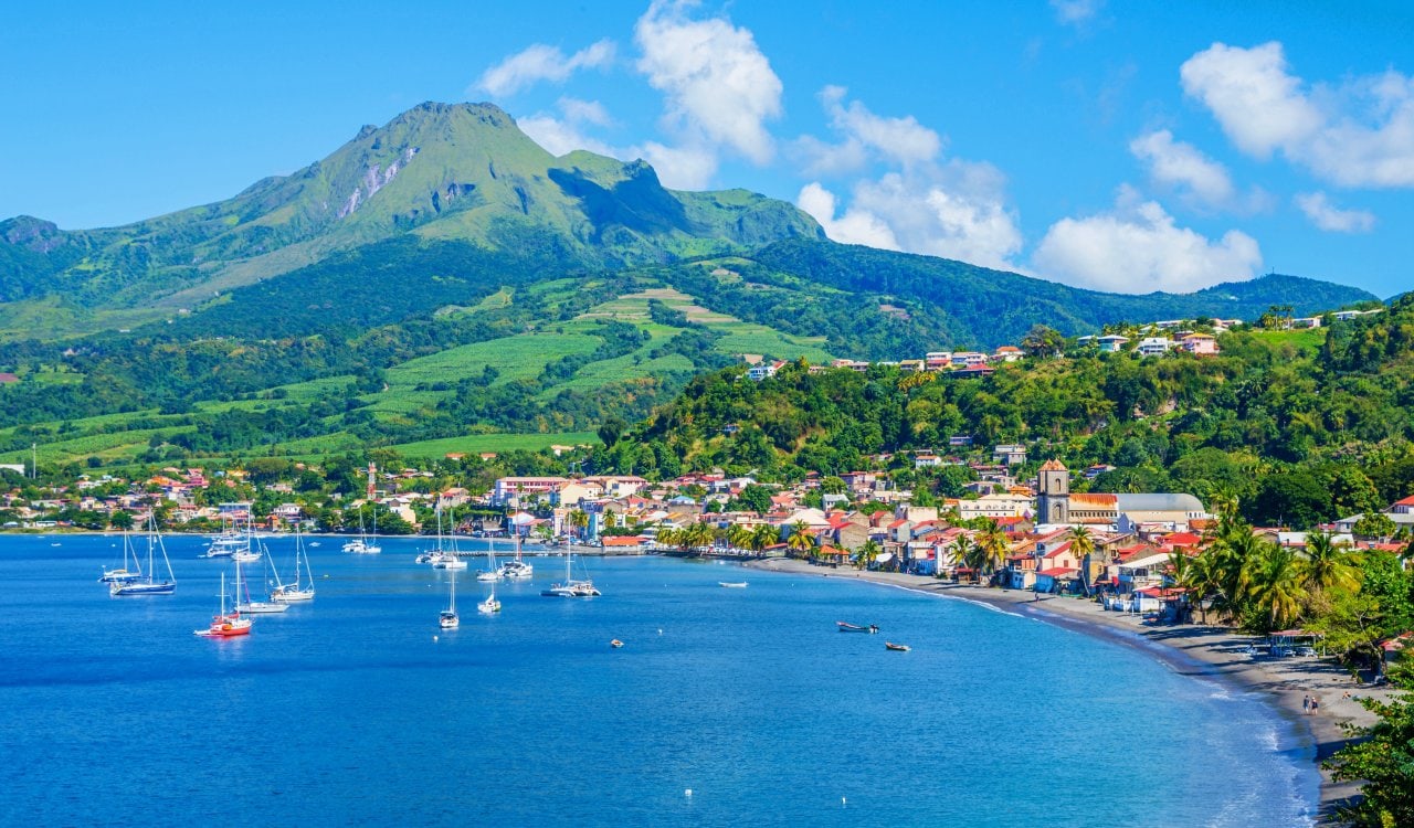
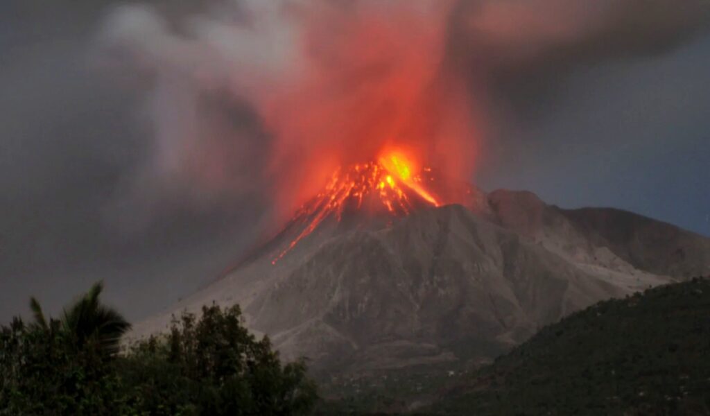
You can find this amazing stratovolcano on the island of Martinique, which happens to be a French-owned island in the Caribbean. Mount Pelée is likely what made this island famous, and it is quite a beautiful thing to see. It has several stratified layers of hardened ash and solidified lava that shows its past well. While it has not erupted since 1932, it could erupt at any point. Experts who studied the volcano believe it is still very much active, and should not be overlooked. The last time it was overlooked though, many people died.
Pago Volcano
- Estimated Date: 4000 BCE, 1370 BCE, 710 CE, 1933 CE
- Location: West New Britain Province, Papua New Guinea
- VEI Rating: 6
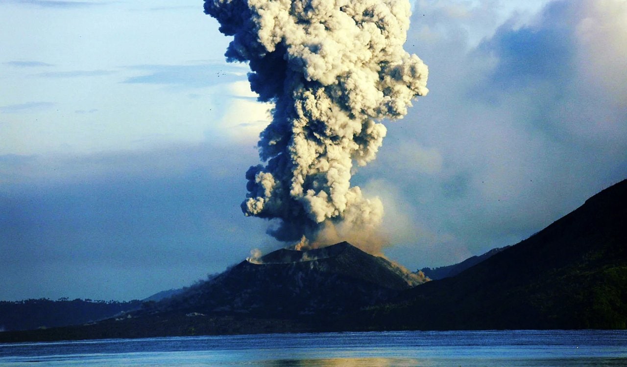
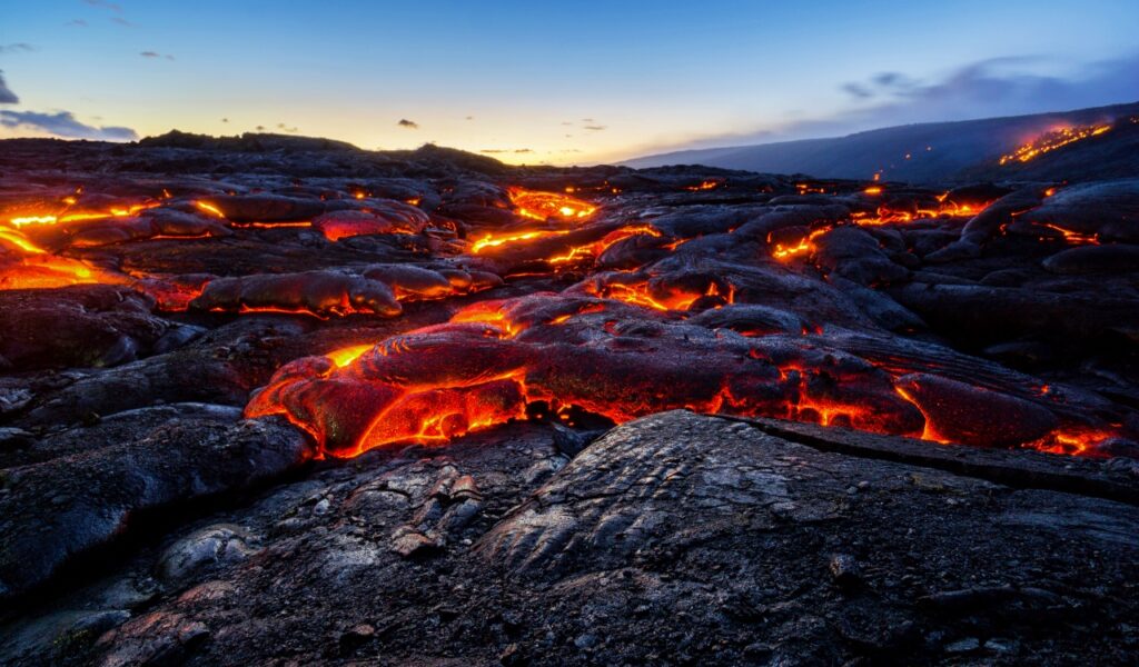
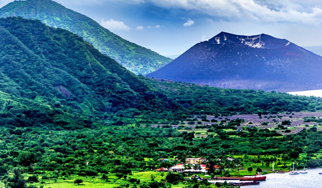
The Pago Volcano in the West New Britain Province of Papua New Guinea is not the most active volcano. As in, it does not erupt a lot. However, when it has…it did so in some of the most horrific ways one could ever see. Funny enough, Pago is relatively young in terms of volcano age but it has made its impression on Papua New Guinea. Several major eruptions took place here, so it is hard to pick just one. It should be known that as of today, the volcano has erupted a total of eight times in 500 years. That includes the major eruption from 1933 that nearly leveled everything.
Rabaul Volcano
- Estimated Date: 535 CE, 683 CE, 1937 CE
- Location: East New Britain Province, Papua New Guinea
- VEI Rating: 6
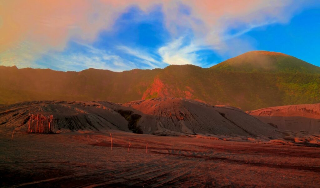
Sticking with the Bismarck Volcanic Arc of volcanos, the Rabaul Volcano is not very far from Pago. It happens to be located in the East New Britain Province. Also known as the Rabaul Caldera, the volcano has sub-vents such as one referred to as Tavurvur which has done significant damage with its eruptions. Several major eruptions have taken place here over. The first eruption that seemed to be massive was the one that took place in 535 CE, but the one confirmed from that early period to have done major damage took place in 683 CE. It was rated a level 6 on the VEI scale. Many even believe this was what formed the current caldera there.
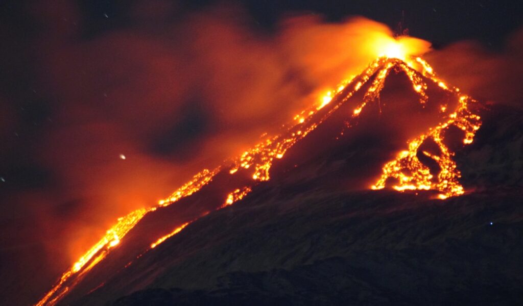
Mount Etna
- Estimated Date: 1669 CE
- Location: Sicily
- VEI Rating: 5 to 6
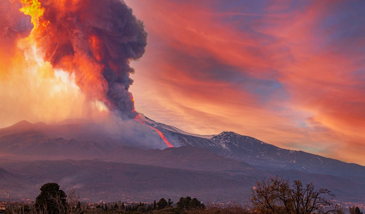
Mount Etna is easily feared by all for many reasons. It is a historic volcano in Sicily that at one point was the stuff of legend. When the Carthaginians attempted to sack Syracuse during the Second Sicilian War in 396 BCE, Etna actually erupted. This made the Carthaginians back off and completely thwarted their attempt. Some saw this as Etna refusing to let them take her land. However, it is not as if Mount Etna was always a fan of those on her island. If you believe in volcano Gods in some way, you’d likely assume Etna wanted everyone out of Sicily in 122 BCE.
Taupō Volcano
- Estimated Date: Between 180 to 223 CE
- Location: New Zealand
- VEI Rating: 6
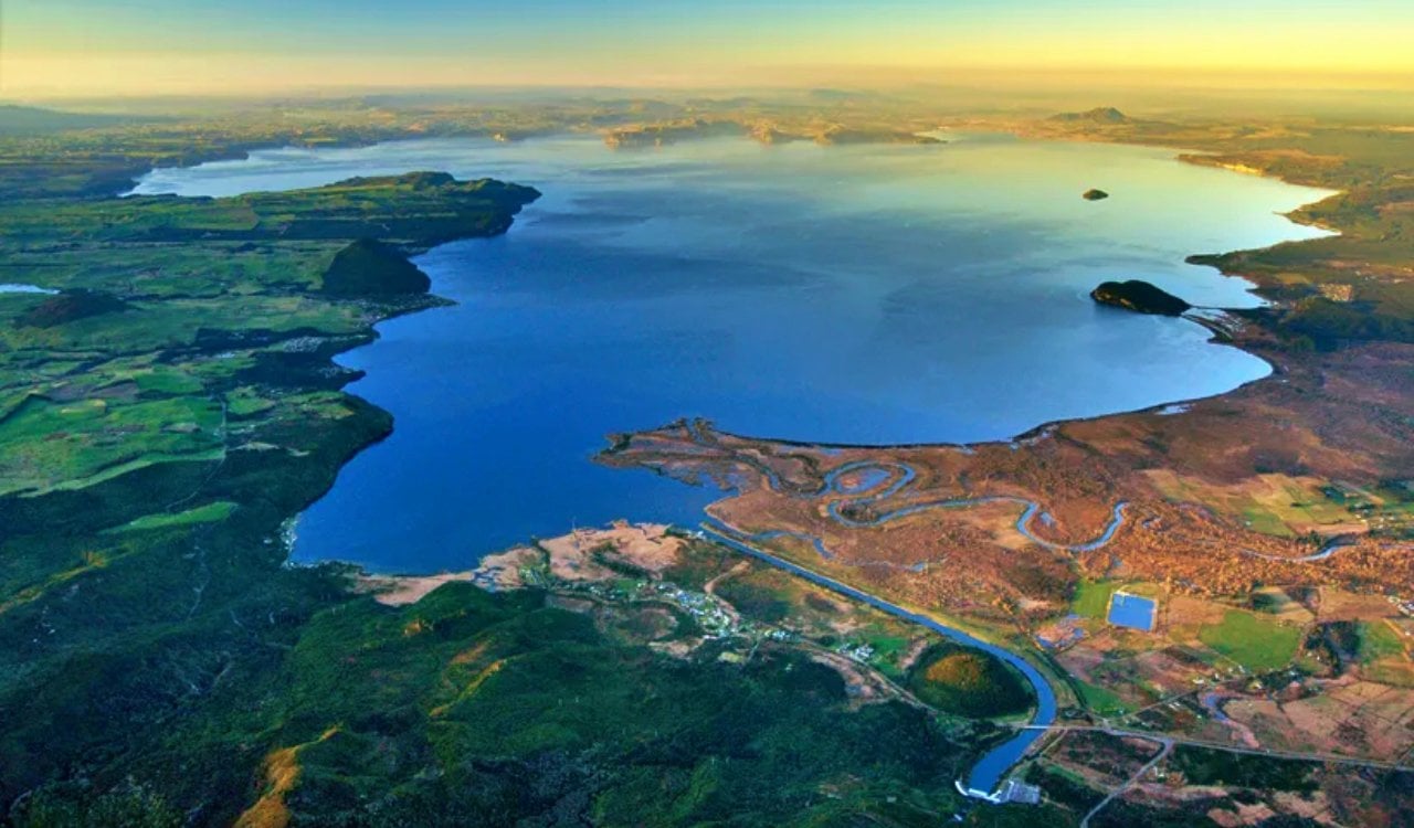
Located in New Zealand, the Taupō Volcano erupted violently sometime between 180 to 223 CE. Often referred to as the “Hatepe eruption” due to the Hatepe Plinian pumice tephra layer, this eruption is considered the most violent eruption in New Zealand in 20,000 years. The eruption ejected 29 cubic miles of inner volcanic goodness. In fact, 7.2 cubic miles of the stuff was ejected in less than 5 minutes! The eruption took place through stages, with six markers later identified. The pyroclastic flow of the volcano completely devastated nearby areas.
Mount Samalas
- Estimated Date: 1257 CE
- Location: Lombok Island, Indonesia
- VEI Rating: 7
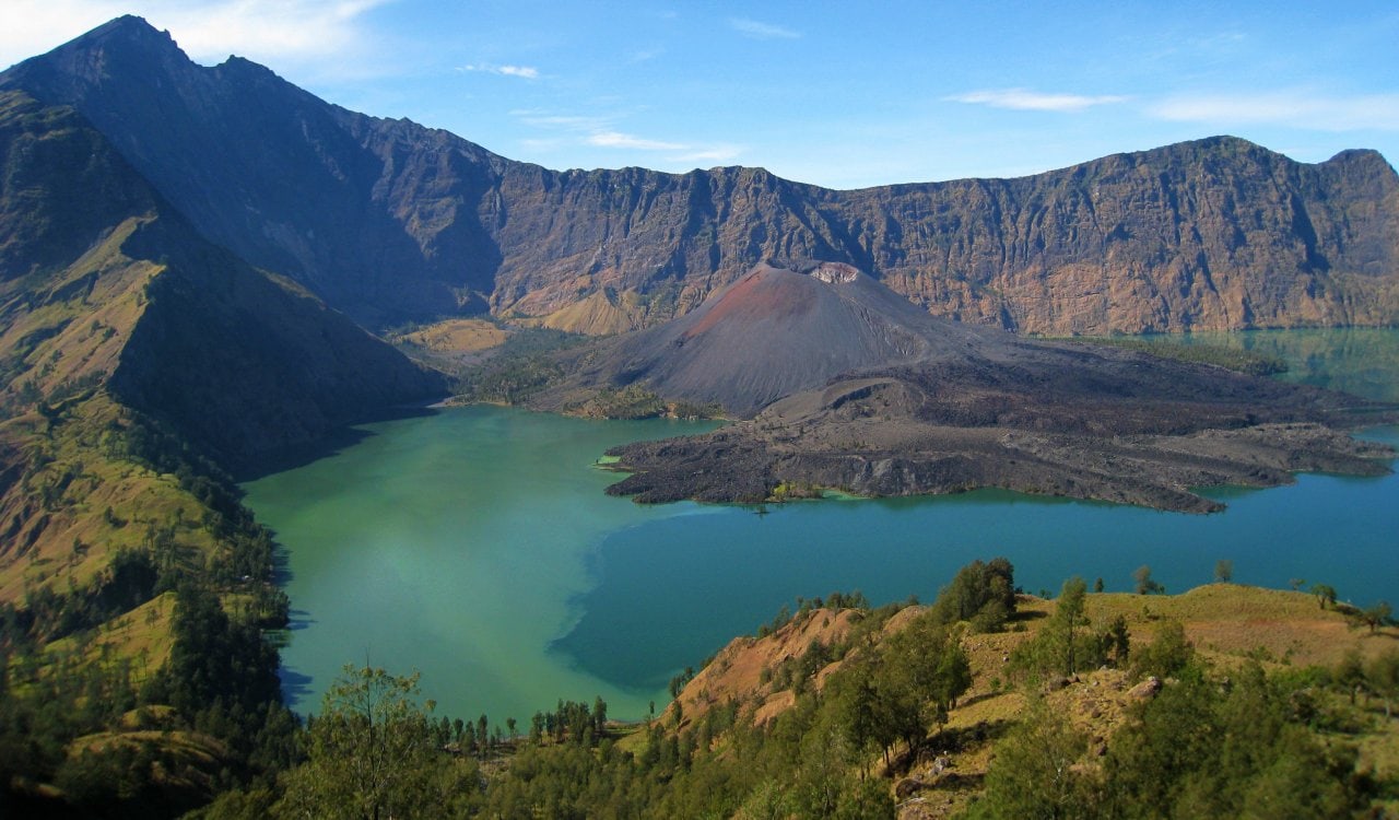
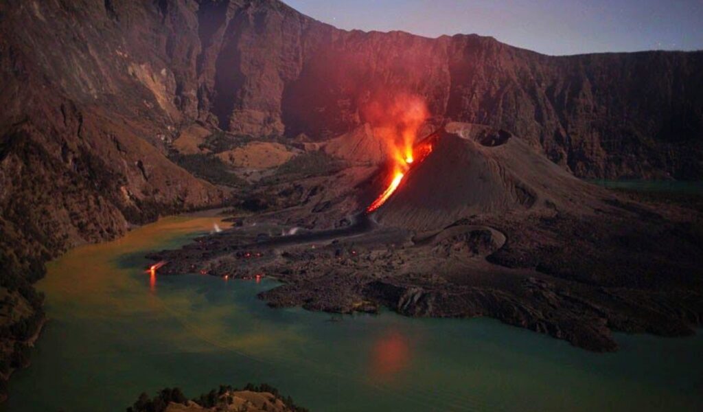
It is rare that we throw around the word “catastrophic” when it comes to volcano eruptions all time. However, the eruption at Mount Samalas in 1257 CE was certainly just that. The Indonesian volcano managed to reach a level 7 on the VEI scale, making it one of the most violent eruptions of the Holocene. Today, we know the damage it did through its large caldera alone. It now serves as Lake Segara Anak. The eruption itself created eruption columns that reached several miles into the atmosphere. Most of Lombok Island was buried in pyroclastic flows.
Kikai Caldera
- Estimated Date: 4350 BCE
- Location: Ōsumi Islands of Kagoshima Prefecture, Japan
- VEI Rating: 7
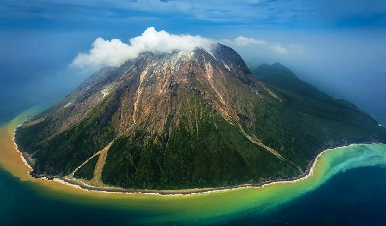
Also known as the Akahoya eruption, the Kikai Caldera was one of the largest eruptions in the Holocene. Unlike other volcanoes on this list, you likely cannot see the Kikai Caldera very well today as it is mostly submerged. It happens to be around 12 miles in diameter and does not operate as a lake due to the ocean submerging it underwater. Estimated to have erupted in 4300 BCE, pyroclastic flows reached the coast of what is now southern Kyūshū, roughly 62 miles away from the volcano itself. Ash even fell as far as Hokkaidō. Volcano eruptions that send ash flying like this can do major damage.
Mount Pinatubo
- Estimated Date: June 15, 1991
- Location: Philippines
- VEI Rating: 7
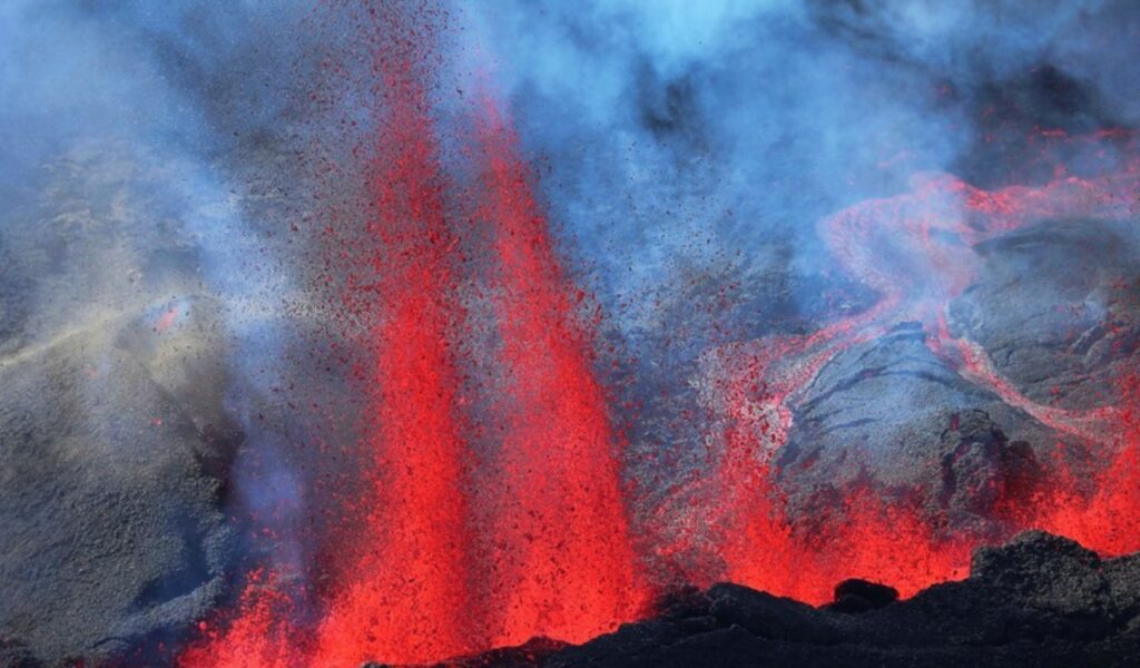
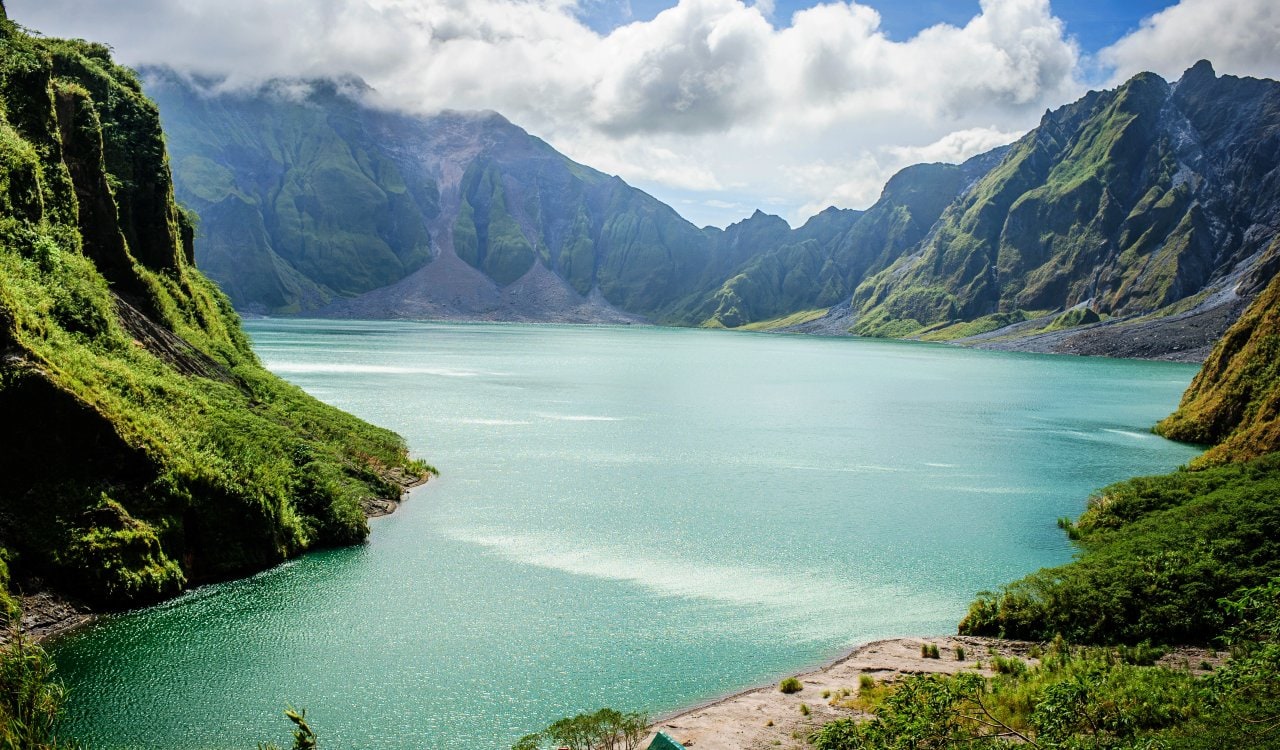
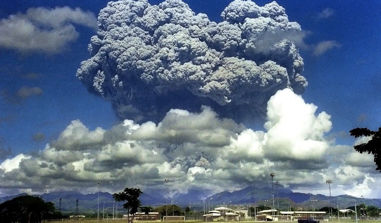
The 1991 eruption of Mount Pinatubo is one of the few major eruptions to take place within most of our lifetimes. While this volcano might be found in the Philippines, the eruption at Pinatubo was felt worldwide. We know today that the eruption was the second largest in the 20th century too. You’d be forgiven if you thought the end of the world was near. As this eruption was taking place, Typhoon Yunya threw a monkey wrench into everything. This brought a lethal level of ash and rain into cities surrounding the volcano. It resulted in tens of thousands of people evacuating the territory. Thousands of lives were saved through this, but 350 people died.
Krakatoa
- Estimated Date: May to August 1883
- Location: Indonesia
- VEI Rating: 7
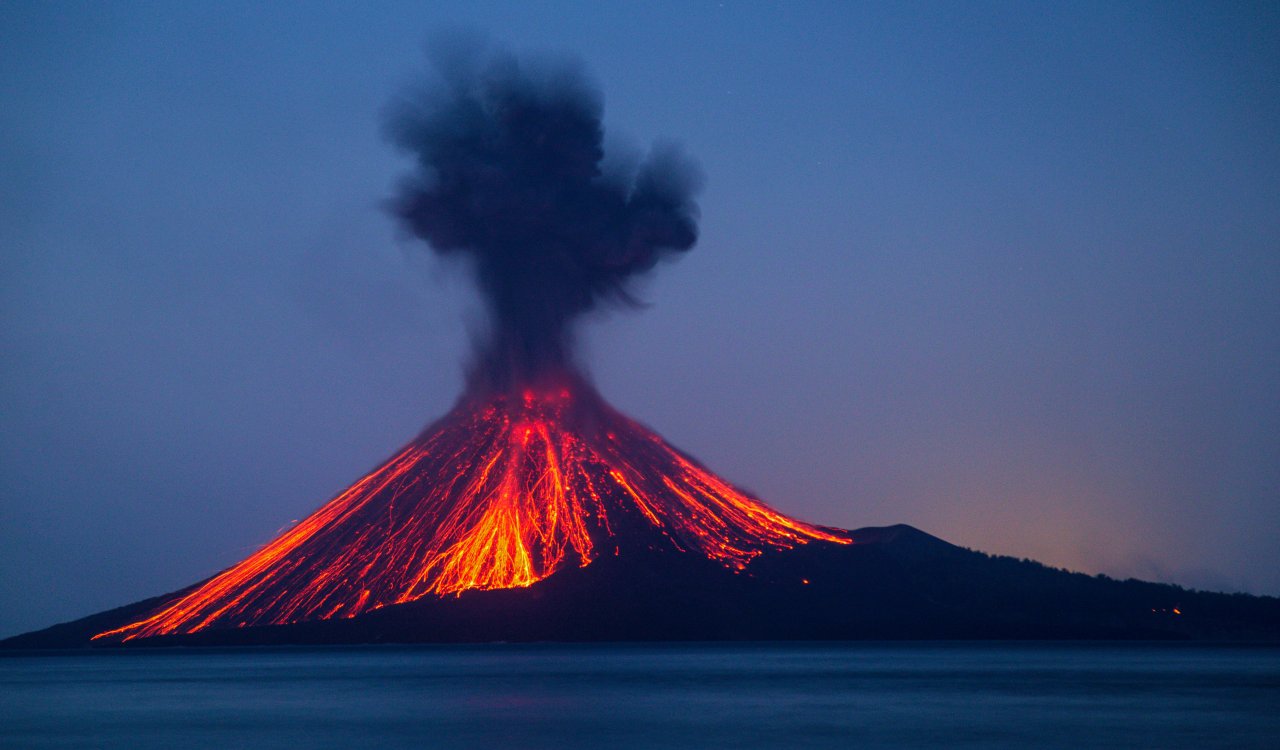
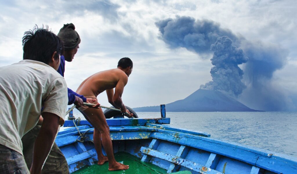
It is likely that when we think of something “huge,” we often hear the word “Krakatoa.” That is for a legitimate reason. In 1883, an eruption took place at the Krakatoa Caldera in the Sunda Strait. This is located in Indonesia between the islands of Java and Sumatra, within the province of Lampung. The overall caldera is part of a volcanic island group that comprises four islands. While the Lang and Verlaten islands were remnants of previous eruptions before 1883, Rakata happens to be the remnant of a much larger island that the 1883 eruption destroyed. People knew before 1883 that Krakatoa was a huge problem.
Lakagigar (Laki) Caldera
- Estimated Date: June 1783 to February 1784
- Location: Iceland
- VEI Rating: 7
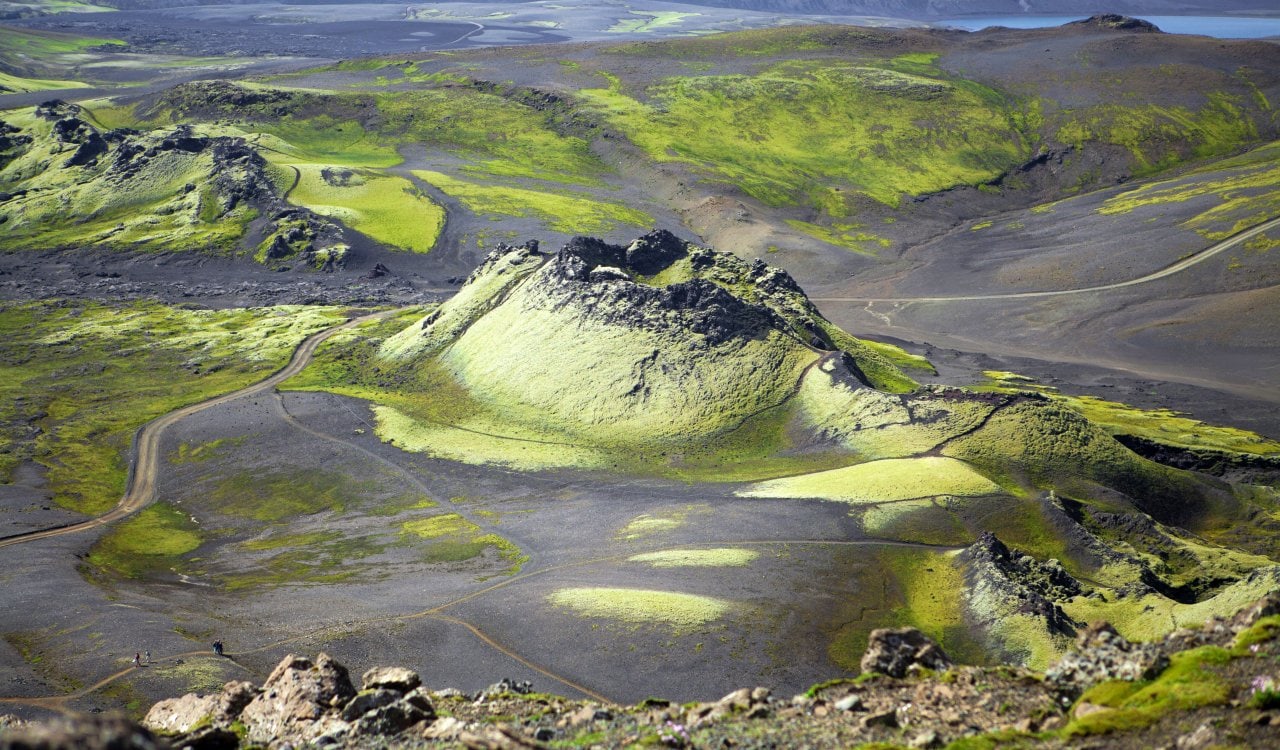
The Lakigigar volcano is actually a fissure, and is often referred to as the “Laki Fissure.” From June 1783 to February 1784, Laki erupted violently and was joined by the nearby Grímsvötn volcano soon into its eruption. In total, 42 billion metric tons of basalt lava and clouds of poisonous hydrofluoric acid and sulfur dioxide contaminated not only the soil but a lot of the breathable air. At least 50% of all Icelandic livestock died from the event, and soon after, most of the crops in Iceland were destroyed entirely. The land remained so contaminated from this that crops could not be grown in the territory for many years after.
Mount Unzen
- Estimated Date: 1792
- Location: Japan
- VEI Rating: 5
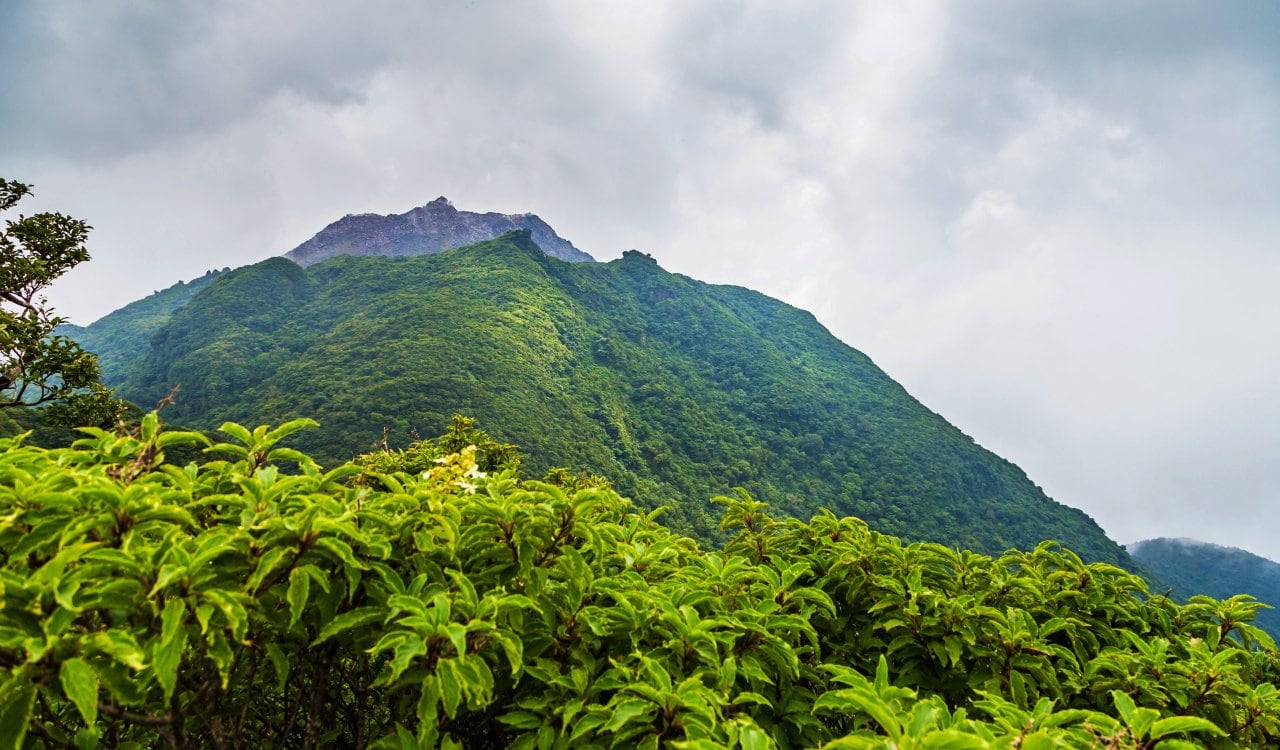
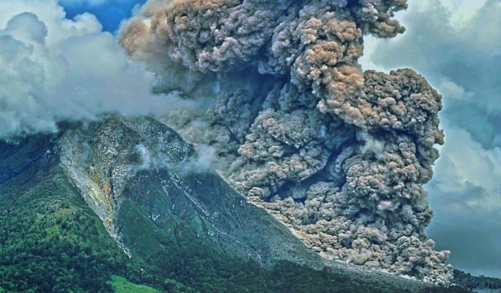
Iceland was not the only nation to experience a major eruption in the late 1700s. In fact, Mount Unzen’s eruption just a few years later was Japan’s deadliest volcano in its long history. The eruption led to a mass explosion that collapsed the dome of the volcano itself. That resulted in a giant landslide that buried the entire city of Shimabara before flowing into the ocean. While some might feel the loss of the city was bad enough for this to be a horrific eruption, this was just where Mount Unzen’s eruption and its aftermath began. Many volcano eruptions never went with just the eruption itself.
Mount St. Helens
- Estimated Date: May 18, 1980
- Location: Washington, United States
- VEI Rating: 5
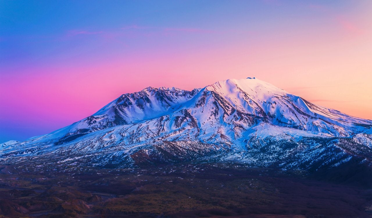
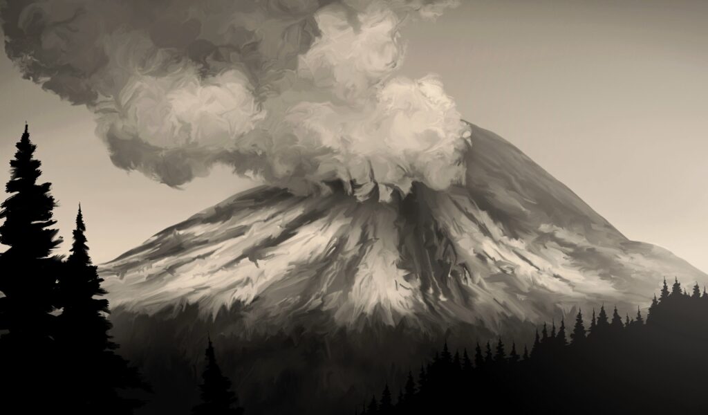
While this stratovolcano has erupted several times, the eruption in May 1980 is the deadliest and most destructive in U.S. history. The eruption resulted in a major debris avalanche, which triggered a 5.1-level earthquake that did destruction on its own. The mountain’s summit even reduced a lot. It was as high as 9,677 feet but the eruption cut it down to 8,363 feet. It even left behind a one-mile crater shaped like a horseshoe. Ecosystems near the volcano were devasted by the eruption, which seems obvious but the ash actually helped nearby aquatic ecosystems tremendously.
Nevado del Ruiz Volcano
- Estimated Date: November 3, 1985
- Location: Columbia
- VEI Rating: 1 to 3
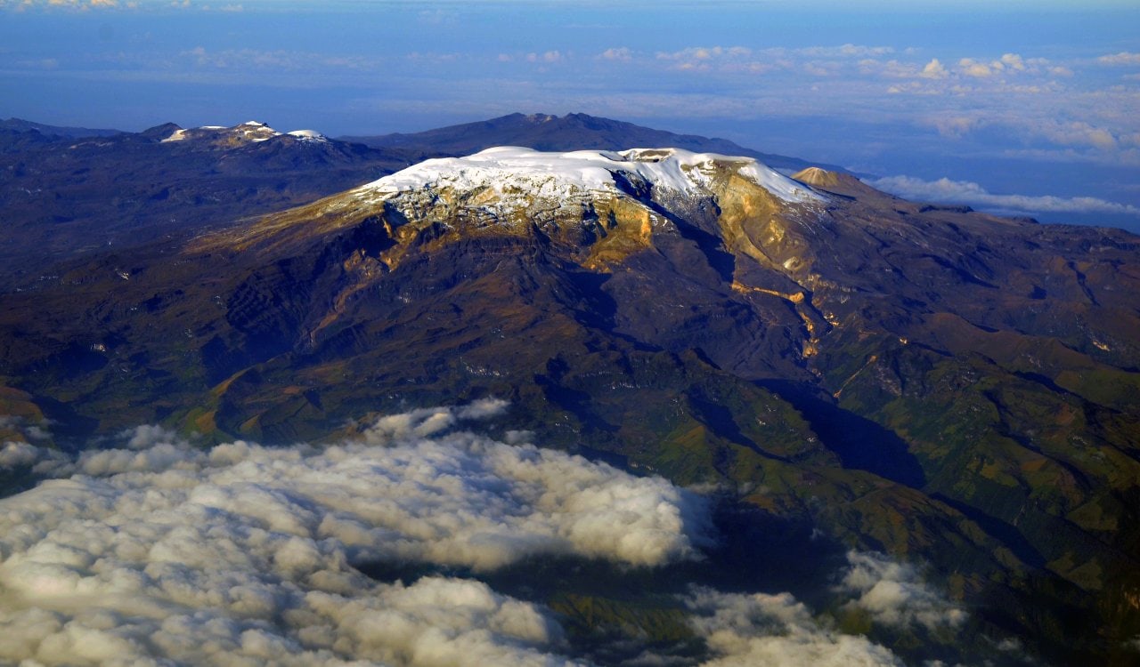
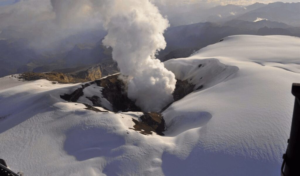
The Nevado del Ruiz volcano has had some massive eruptions over the years, but likely the most notable occurred in 1985. In November, it only took a small eruption to do an enormous amount of damage. Essentially, the volcano did not need a major eruption because it was capable of producing a ton of mudflows without much effort. That is likely due to the local glaciers. In fact, this is essentially what led to a massive loss of life in the local area. Now known as the Armero tragedy, the town of Armero in Tolima was hit by the aforementioned mudflow.
Mount Tambora
- Estimated Date: April 1815
- Location: Sumbawa, Indonesia
- VEI Rating: 7
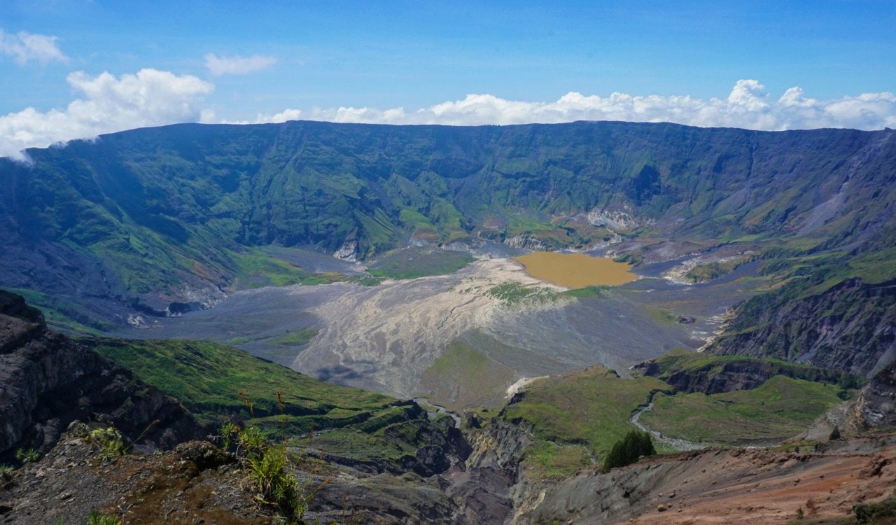
Mount Tambora has experienced some major eruptions in its long history. However, in 1815 it managed to be so destructive that it ended more human lives than perhaps any other volcano directly in history. Today, we also know it to be the most powerful volcanic eruption since humans have been on the planet. Rated a 7 by the Volcanic Explosivity Index, it sent around 38 to 51 cubic miles of volcanic material into the atmosphere. Going into April 1815, the magma chamber had been drained by previous eruptions. This allowed the volcano to essentially become dormant…but it was refilling that entire time.
Mount Vesuvius
- Estimated Date: 79 CE
- Location: Italy
- VEI Rating: 5
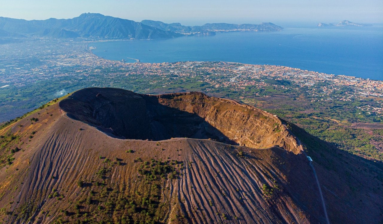
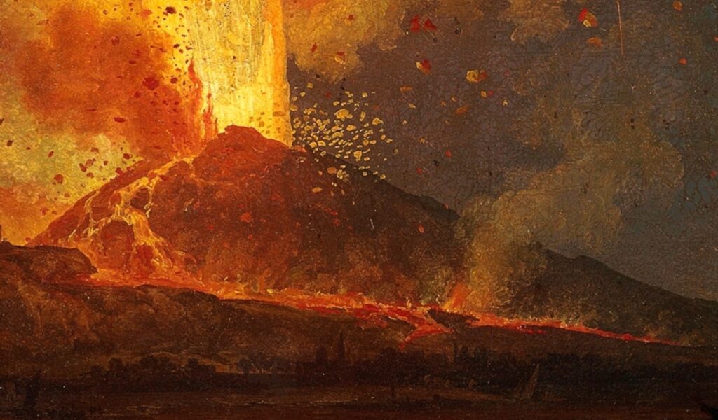
Perhaps the most famous of all volcanic eruptions in history is the 79 CE eruption of Mount Vesuvius. This is most certainly due to its location and the historians that were either present or close to the event. Everyone knows that the Roman city of Pompeii was leveled by the eruption. Later archeologists would uncover a lot of major Roman artifacts from the location that were all in pristine condition due to the eruption. However, Pompeii was only one of the cities impacted. Herculaneum, Oplontis, and Stabiae among other settlements were all leveled too.
Where do we Find this Stuff? Here Are Our Sources:
U.S. Department of the Interior
U.S. National Park Service
National Centre For Atmospheric Sciences
New Zealand Government
Harvard University
Oregan State University
Smithsonian Institution – Global Volcanism Program
Global Alliance of National Parks
National Geographic
Nature
The Atlantic

